Compartir
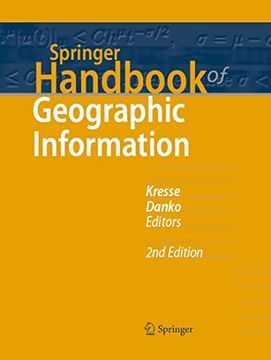
Springer Handbook of Geographic Information (en Inglés)
Kresse, Wolfgang ; Danko, David (Autor)
·
Springer
· Tapa Dura
Springer Handbook of Geographic Information (en Inglés) - Kresse, Wolfgang ; Danko, David
$ 507.65
$ 846.08
Ahorras: $ 338.43
Elige la lista en la que quieres agregar tu producto o crea una nueva lista
✓ Producto agregado correctamente a la lista de deseos.
Ir a Mis Listas
Origen: Reino Unido
(Costos de importación incluídos en el precio)
Se enviará desde nuestra bodega entre el
Martes 30 de Julio y el
Miércoles 07 de Agosto.
Lo recibirás en cualquier lugar de Estados Unidos entre 1 y 3 días hábiles luego del envío.
Reseña del libro "Springer Handbook of Geographic Information (en Inglés)"
This handbook provides an exhaustive, one-stop reference and a state-of-the-art description of geographic information and its use. This new, substantially updated edition presents a complete and rigorous overview of the fundamentals, methods and applications of the multidisciplinary field of geographic information systems. Designed to be a useful and readable desk reference book, but also prepared in various electronic formats, this title allows fast yet comprehensive review and easy retrieval of essential reliable key information. The Springer Handbook of Geographic Information is divided into three parts. Part A, Basics and Computer Science, provides an overview on the fundamentals, including descriptions of databases and encoding of geographic information. It also covers the underlying mathematical and statistics methods and modeling. A new chapter exemplifies the emerging use and analysis of big data in a geographic context. Part B offers rigorous descriptions of gathering, processing and coding of geographic information in a standardized way to allow interoperable use in a variety of systems; from traditional methods such as geodesy and surveying to state-of-the-art remote sensing and photogrammetry; from cartography to geospatial web services. Discussions on geosemantic interoperability and security of open distributed geospatial information systems complete the comprehensive coverage. The final part describes a wide array of applications in science, industry and society at large, such as agriculture, defense, transportation, energy and utilities, health and human services. The part is enhanced by new chapters on smart cities and building information modeling, as well as a complete overview of the currently available open-source geographic information systems. Using standardized international terminology, in accordance with ISO/TC 211 and INSPIRE, this handbook facilitates collaboration between different disciplines and is a must have for practitioners and new comers in industry and academia.

