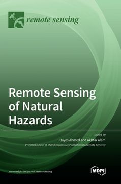
Reseña del libro "Remote Sensing of Natural Hazards (en Inglés)"
Each year, natural hazards such as earthquakes, cyclones, flooding, landslides, wildfires, avalanches, volcanic eruption, extreme temperatures, storm surges, drought, etc., result in widespread loss of life, livelihood, and critical infrastructure globally. With the unprecedented growth of the human population, largescale development activities, and changes to the natural environment, the frequency and intensity of extreme natural events and consequent impacts are expected to increase in the future.Technological interventions provide essential provisions for the prevention and mitigation of natural hazards. The data obtained through remote sensing systems with varied spatial, spectral, and temporal resolutions particularly provide prospects for furthering knowledge on spatiotemporal patterns and forecasting of natural hazards. The collection of data using earth observation systems has been valuable for alleviating the adverse effects of natural hazards, especially with their near real-time capabilities for tracking extreme natural events. Remote sensing systems from different platforms also serve as an important decision-support tool for devising response strategies, coordinating rescue operations, and making damage and loss estimations.With these in mind, this book seeks original contributions to the advanced applications of remote sensing and geographic information systems (GIS) techniques in understanding various dimensions of natural hazards through new theory, data products, and robust approaches.

